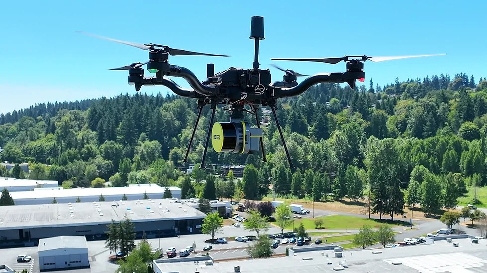
uintah drones and uav
UELS utilizes drone photogrammetry and LiDAR to provide our clients with the most accurate and reliable data available. With UAV technology, together with our FAA-licensed pilots, UELS can better provide targeted solutions for each of our client’s projects. Data provided by our UAV equipment are detailed, refined, and at a higher quality of resolution. UELS can accommodate projects from a small residential lot to thousands of acres, saving both time and therefore money compared to traditional surveying methods.

DRONES & UAV'S SERVICES
- Aerial Inspection
- Aerial Orthomosaic Images
- Drone Videography
- Construction Progress Monitoring
- Digital Surface/Terrain Models
- Point Clouds
- Corridor Mapping (Images, Topography & Video)
- Stockpile Measurements
- ALTA Surveys
- LiDAR
- As-Built of Construction Sites
- Power Line Inspections
- Road Design
- Pipeline Routing