Uintah LAND SURVEYING
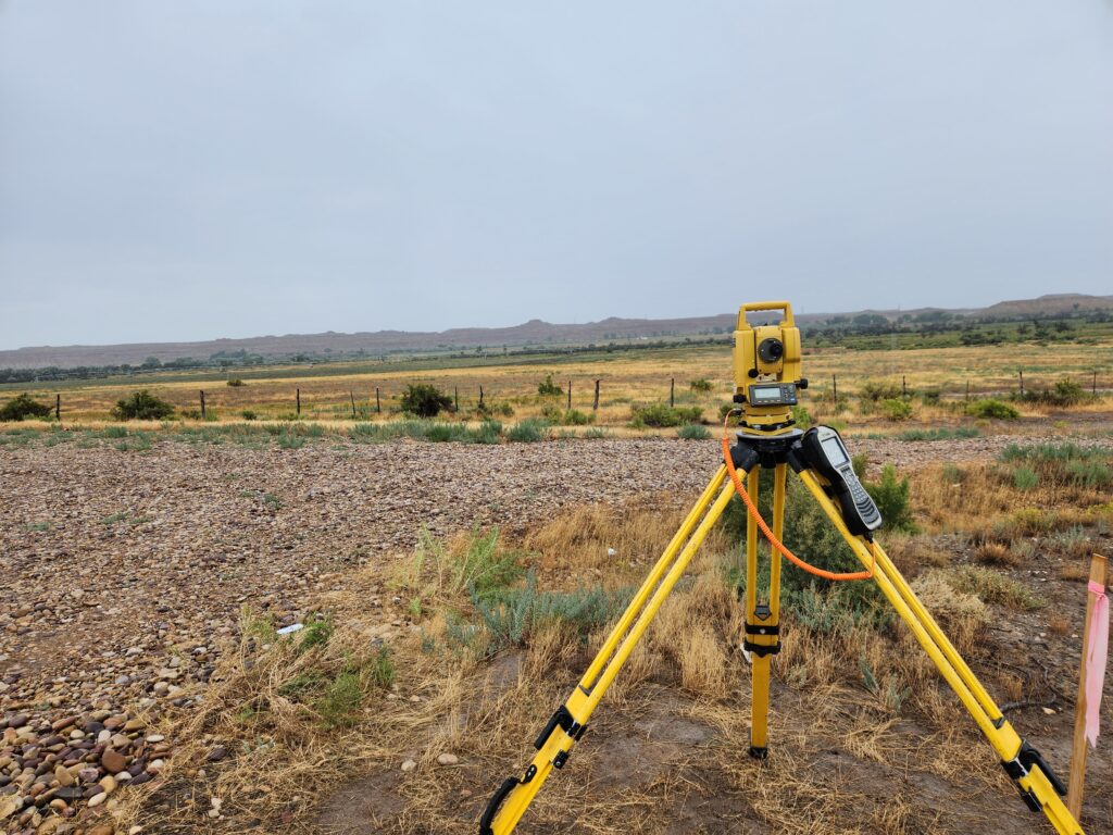
UELS survey teams are trained and fully equipped to complete any type of land surveying. UELS provides fully equipped and independent survey crews with survey grade GPS equipment and if necessary, access to GIS grade GPS, total stations, and other equipment as needed. With a large and trained survey staff, UELS can provide flexible solutions to the challenges associated with high volume and rush jobs. Turn-around speed and the volume of work handled is something which cannot be matched by any competitor. UELS surveyors have time and time again saved its clients valuable time and money. Over the years UELS has seen many instances where UELS experience has saved a customer more in construction costs than the total survey and design costs. UELS surveyors select the best method to accomplish the survey tasks and minimize environmental disturbance.

LAND SURVEYING SERVICES
- Well location pad layout
- Well staking
- Construction site staking
- As built surveys
- Access road layout
- Unit surveys
- Boundary surveys
- Utility locating & survey
- Earthwork volume survey
- Pipeline layout
- Pipeline right-of-way
- Pipeline as built
- Site topographic
- Building/facility layout
- Corridor routing
- Communication towers
- Drone Surveys for Imagery and Topo/Design
- Easements
- PLSS section corner recovery & monumentation
- ALTA/NSPS land title surveys
- Land Subdivision
- Land partitions
- Residential & commercial
- Settlement
- Wind Farms
- Solar Farm Layout and As-Built